As we get this new version of the site running smoothly, we’ll introduce you to some of the new pages and features. Today, let’s talk about the weather.
First of all, you can get a quick glimpse of the basic current conditions by looking in the upper right corner of the site.
In the upper blue bar (with the cloud icon), and in the upper right corner, are links to the full weather page.
You’ll see that we’re sticking with the NOAA forecast from Albany. It seems to be the most reliable indicator of what’s coming our way. The conditions reported are for Brattleboro.
The top icons show the forecast for today through the next few days. High and low temperatures, chances of precipitation, and so on at a glance.
Below that is the written forecast for the next week.
At the bottom of the forecast is an invaluable link for weather-watchers: the forecast discussion. This is where the weatherfolk discuss the weather using their real weather lingo. Always fun, it can be a bit challenging at times to decipher. It’s worth trying, though.
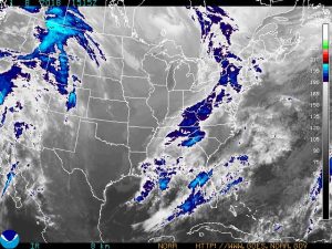
Next on the page are current radar maps, both a national map and a regional one. You can tell quickly if the storm is just over us, or reaches all the way to Mexico.
The bottom of the page contains useful weather links, with some suggested by iBrattleboro users. Eye on the Sky, Space Weather, Volcano reports, Drought maps, and so on are available through these links.
All-in-all, quite a good local weather resource, wouldn’t you say?
If you have suggestions for additional useful weather links, let us know.


Weather updates
Thank you for this easy weather locator .
Appreciate your efforts and successes.